Pre-Development Intelligence for Planning, Flood Risk and Infrastructure
SPΔD3 (Spatial Planning Δ Design in 3D) provides free early-stage technical intelligence to support planning, flood risk and drainage decisions. We combine professional judgement, spatial analysis and decision-grade tooling to help clients understand constraints early, reduce risk, and proceed with confidence. Our work is delivered through a combination of specialist consultancy and a growing suite of digital applications, published via Dock-Base ; Our platform for professional planning, flood and infrastructure tools.
Professional Spatial Analysis for Early-Stage Decisions
We operates at the point where uncertainty is highest: feasibility, pre-application and early option development. We provide robust spatial analysis, flood risk and drainage insight, supported by repeatable digital tools that improve consistency, transparency and decision quality.
Consultancy and Platforms
SPAD3 delivers professional consultancy alongside platform-based tools. Some clients engage SPAD3 directly for advisory support; others first encounter our work through Dock-Base applications used for feasibility testing, calculation, or spatial review. Both routes are underpinned by the same technical standards and professional accountability.
Flood Risk & Hydrological Assessment
<
3D Terrain and Infrastructure Modelling
<
Planning-Led Technical Guidance and Tools
<
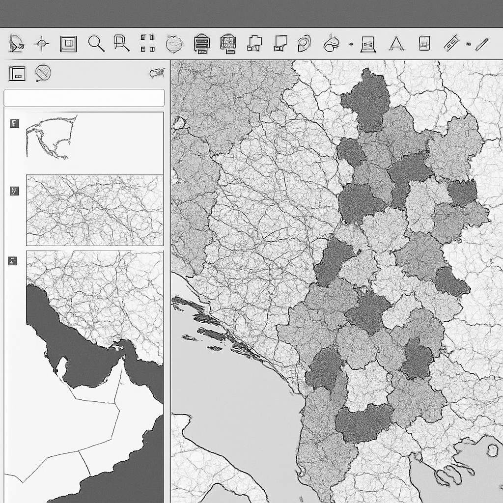
Spatial Due Diligence and Constraint Mapping
<
Engineering Clarity Across Complex Spatial Challenges
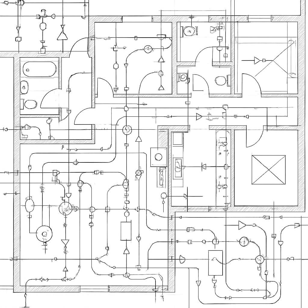
Drainage Strategy and Feasibility
We support drainage strategy development at pre-development stage, ensuring capacities, constraints and options are understood early. This includes foul and surface water feasibility, SuDS considerations and alignment with planning and adoption requirements.
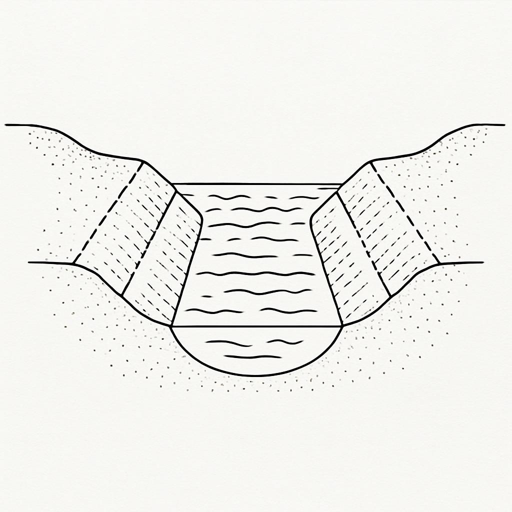
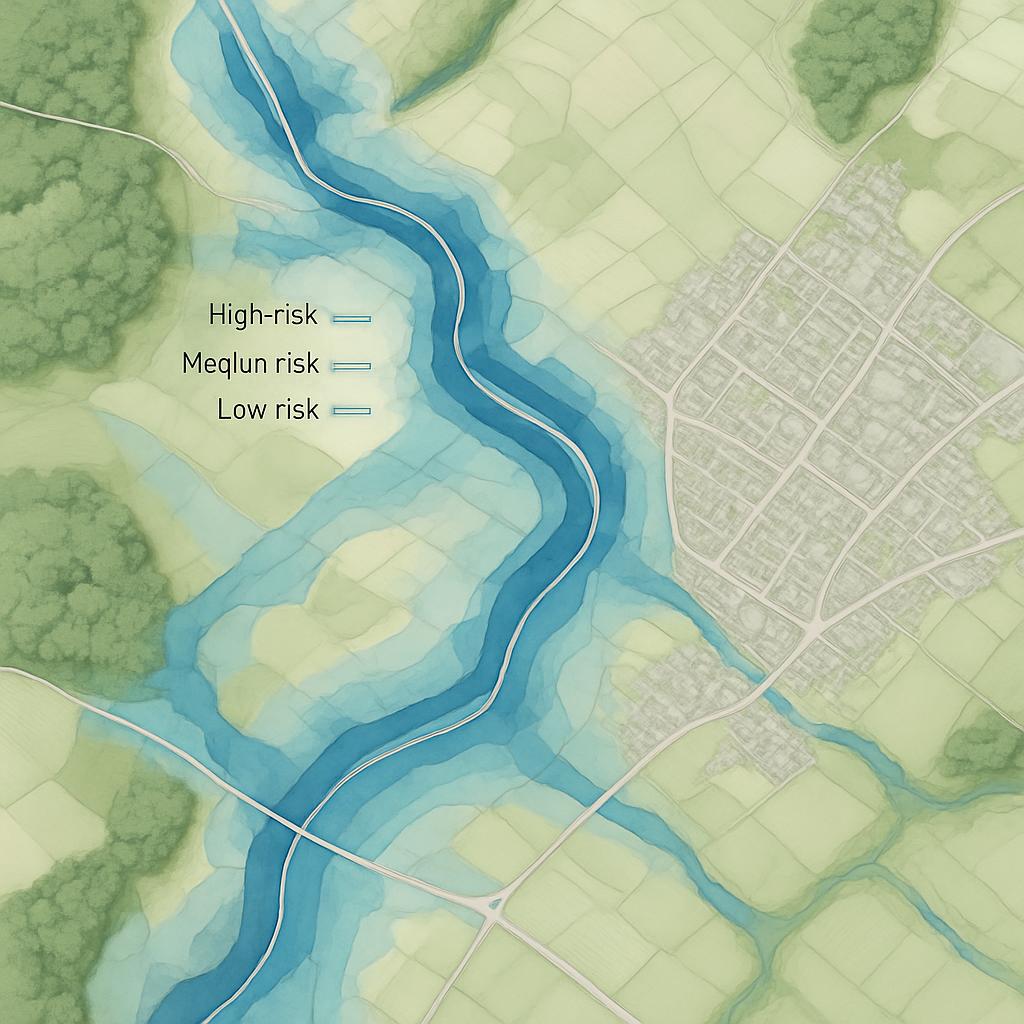
High-Resolution Hydrology & Surface Water Analysis
Our hydrological assessments interpret water behaviour with precision: combining FEH, IH124, catchment logic, exceedance mapping, and linked datasets from the Environment Agency, OS, and DEFRA. The result is transparent, defensible guidance for planners, developers, and design teams.
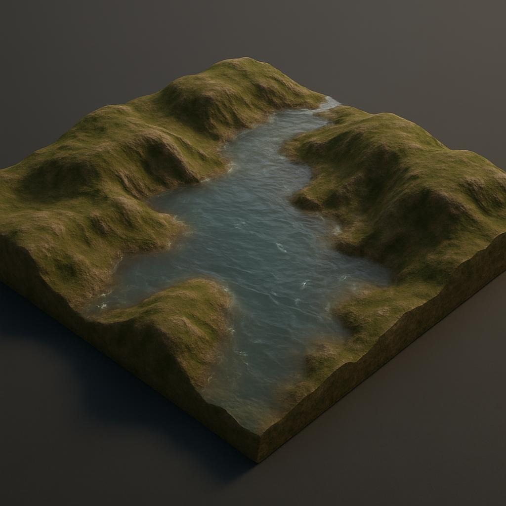
Decision-Grade 3D and Spatial Modelling
SPΔD3 converts technical site data into immersive 3D models, enabling clients to understand gradients, flow paths, constraints and opportunities before design is finalised. Built through a QGIS → Blender, Unity pipeline, these models can support planning submissions, public engagement, and design development.
These models can used internally, extended to other projects within the wider Dock-Base tools, and also used as part of planning and stakeholder engagement workflows.
Evidence-Led Outputs, Not Speculative Design
We focus on improving the quality of evidence available at early planning stages. Our work supports clearer conversations with regulators, more realistic site layouts, and better-informed investment decisions.
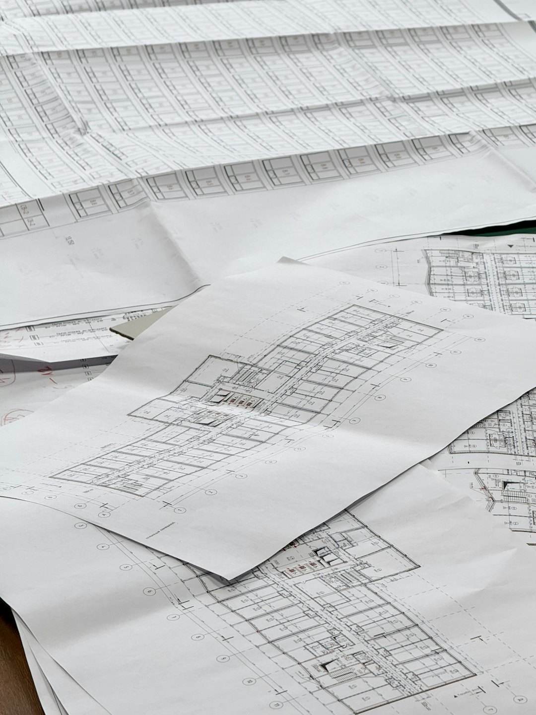
Core Capabilities and Platforms
From consultancy delivery to digital tool development, SPAD3 maintains consistent technical standards across all outputs, whether delivered directly or through Dock-Base applications and pre-development assessment tools.

Precision Drainage Design
Expertly crafted systems ensuring maximum compliance and optimisation without risk to projects.

Comprehensive Spatial Planning
Strategic, evidence-led layouts that maximise land use, respond to terrain, and align with planning and SuDS requirements.
Hydrology & GIS Integration
High-resolution terrain analysis, surface-water logic, flow path interpretation, and linked datasets to support sustainable, defensible design decisions.
Advanced 3D Visualisation
Interactive, QGIS-to-Blender models that bring levels, flow paths, gradients, and design concepts to life before implementation.
Professional Insight. Practical Tools. Early Clarity.
Engage SPΔD3 directly, or access professional tools via Dock-Base Platform.